Google Maps is bringing the best hidden desktop feature to your phone
Believe it or not, Google Street View is now 15 years old. The service now encompasses 220 billion images over 100 countries and territories. To commemorate this, Google has announced a big change is coming — bringing the best hidden desktop feature to mobile.
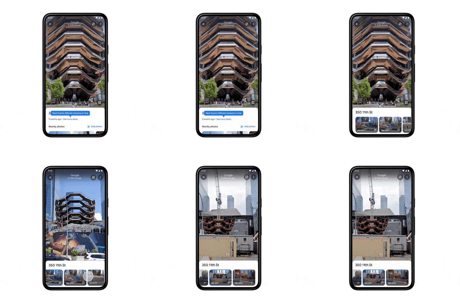
One of the coolest things about Street View is that Google keeps all the images it’s taken over the years — letting you go back and see how things used to be. This feature has been exclusive to desktops since 2014, but now it’s coming to Android and iOS.
According to Google the feature has started rolling out today, though it’s not appeared on my phone — which is running the Google Maps beta.
But you can check pretty easily. Simply load up a Street view location, any location, and tap the photo. If you’re running the new version of Google Maps, this will bring up some information about the spot, along with a See More Dates option.
Tapping that lets you travel back to previous versions of Street View all the way back to when the feature launched in 2007.

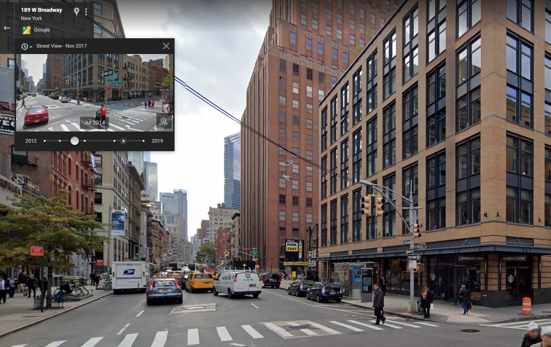
How to use Street View’s time travel on desktop

On the desktop version of Street view, things work a little differently. To get time travel going you will need to do the following:
- Open up Google Maps, and drag the yellow figure from the bottom right corner to your desired location.
- In the top left you’ll see a box with location details and the date the photo was taken. Click it
- A pop-up menu will appear, with a drag bar at the bottom.
- Drag the dot to your chosen year, and press the magnifying glass in the bottom right. This will launch a full-screen version of that period in time.
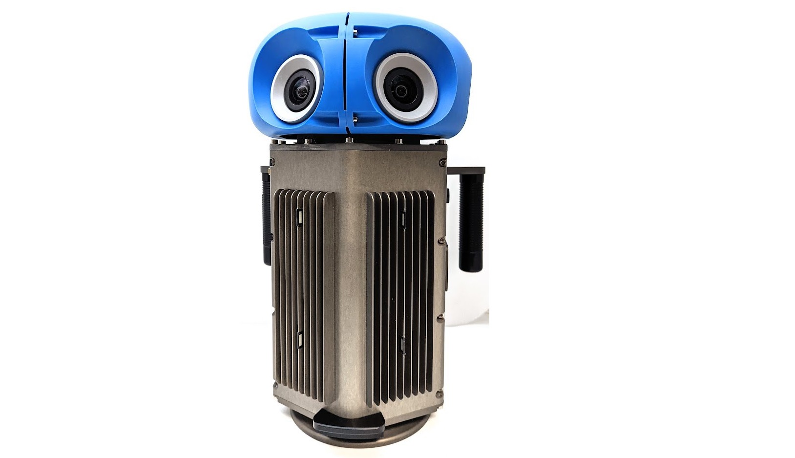
A new Street View camera is also coming

We’ve all heard about the Street View cars, driving around snapping pictures and prompting some people to do a pose and be (almost) immortalized on the platform. But Google does have ways of snapping images where cars can’t go, and the new Street View camera will make that even easier.
Google claims that this new camera is the size of a house cat, but retains all the same power, resolution and processing capabilities as the ones you’d find on Street View cars. This new camera weighs less than 15 pounds, making it easy to lug around, and simple enough that it can be attached to any car roof rack and controlled from a mobile device.
This way Google won’t need purpose-built cars and bulky camera-equipped backpacks to document the world.
The camera also offers more modular customization, letting Google add new components to better map the streets. The example it used was a LiDAR sensor for detecting lane markings and potholes.
To help you get the most out of Google Maps, check out our 22 Google Maps tips and tricks guide.
For all the latest Technology News Click Here
For the latest news and updates, follow us on Google News.
